Methodology
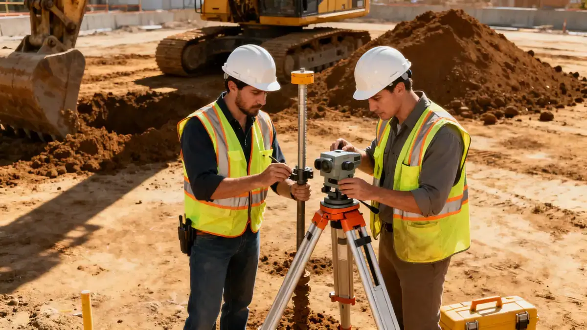
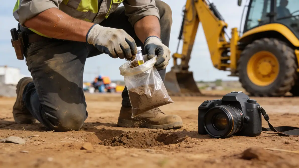
Our geotechnical engineering methodology in Savannah, Georgia, begins with a comprehensive review of existing geological maps and records to understand the region's stratigraphy. We then conduct field investigations, including spt boring in accordance with ASTM D1586, to obtain soil samples and measure standard penetration resistance. These borings are typically advanced to depths of 8 to 15 meters for residential projects and up to 30 meters for industrial structures, with sampling intervals every 1.0 to 1.5 meters. Laboratory testing on recovered samples includes grain size distribution, Atterberg limits, and moisture content to classify soils. Our team integrates these results with local seismic data to evaluate liquefaction potential and bearing capacity, ensuring designs comply with current codes.
Reference Technical Parameters
| Parameter | Reference Value |
|---|---|
| Predominant soil type | Sand, silty sand, and clay layers (coastal plain deposits) |
| Maximum seismic acceleration (PGA) | 0.10g to 0.15g (ASCE 7-16, Site Class D) |
| Typical groundwater level | 1.5 to 4.5 meters below ground surface |
| Bedrock depth | Variable, often >30 meters (deep sediment cover) |
| Typical N60 range (SPT) | 5–30 blows per 300 mm (sands); 2–10 blows per 300 mm (clays) |
Local Considerations — Savannah Georgia
Savannah's geotechnical environment is shaped by its coastal location within the Atlantic Coastal Plain. The region features deep unconsolidated sediments—primarily sands, silts, and clays—with occasional limestone layers from the Hawthorne Formation. Groundwater levels are typically shallow, ranging from 1.5 to 4.5 meters, requiring dewatering considerations for deep excavations. Seismic hazard is moderate, with a PGA of 0.10g to 0.15g per ASCE 7-16, necessitating site-specific liquefaction assessments for loose, saturated sands. Historic districts like the Historic Landmark District often have older fill materials and variable subsurface conditions, demanding careful investigation. Our firm's experience includes projects in both downtown Savannah and suburban developments, providing insights into local soil behavior. For broader regional context, our team coordinates with our geotechnical engineering en Atlanta office to align methodologies across Georgia.
Request a Quote
Our team reviews your project and issues an initial report at no cost.
Or write us directly at [email protected]
Services in Savannah Georgia
Applicable Standards
- ASTM D1586 (Standard Penetration Test)
- ASCE 7-16 (Minimum Design Loads for Buildings and Other Structures)
- IBC 2021 (International Building Code, adopted by Georgia)
- ASTM D2487 (Classification of Soils for Engineering Purposes)
- Georgia State Minimum Standard Codes (Chapter 111-8)
Frequently Asked Questions
What are the typical soil types encountered in Savannah, Georgia?
Savannah's subsurface consists mainly of coastal plain sediments: fine to medium sands, silty sands, and soft to stiff clays. Organic layers and peat are sometimes present near marshes. These soils often have high moisture content and low bearing capacity, requiring careful foundation design.
Is seismic analysis required for geotechnical projects in Savannah?
Yes, per ASCE 7-16 and the IBC 2021, Savannah falls within Seismic Design Category B to C, with a PGA of 0.10g to 0.15g. Site-specific seismic analysis is recommended for critical structures or sites with loose, saturated sands to assess liquefaction potential.
Are geotechnical studies mandatory for construction in Savannah?
While not always legally mandated for single-family homes, most commercial and multi-story projects require a geotechnical report to obtain building permits. Lenders and insurers also often demand such studies. Local practice strongly recommends investigations for any structure with deep foundations or sensitive design.