Methodology
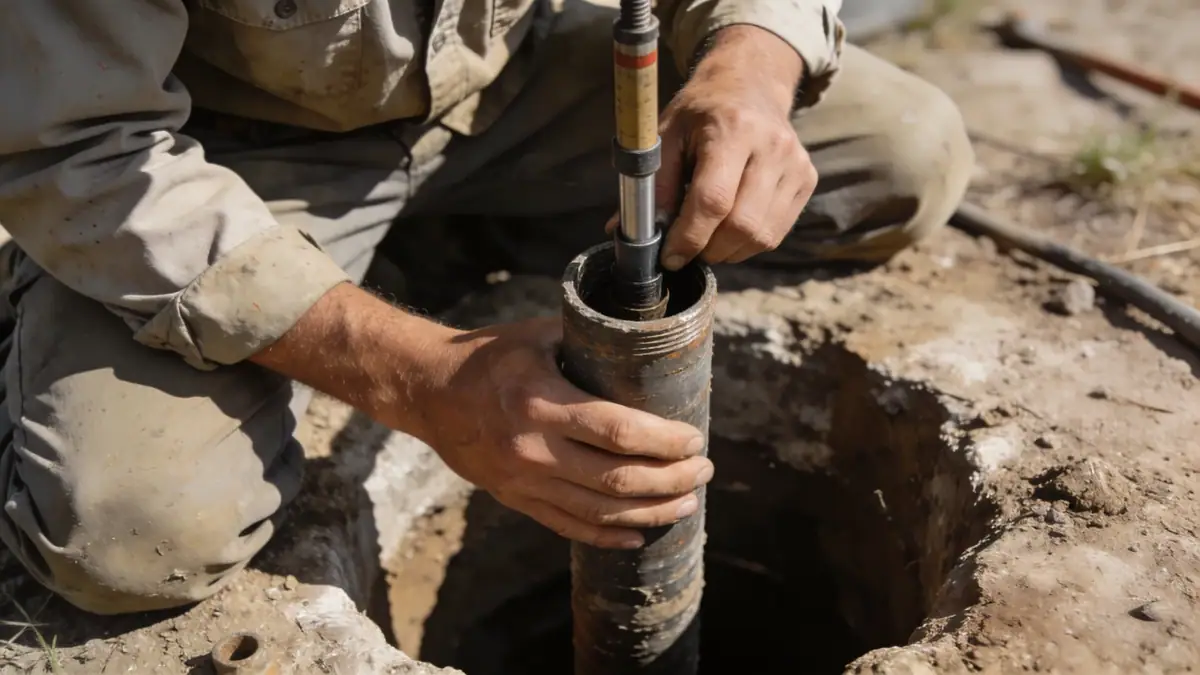
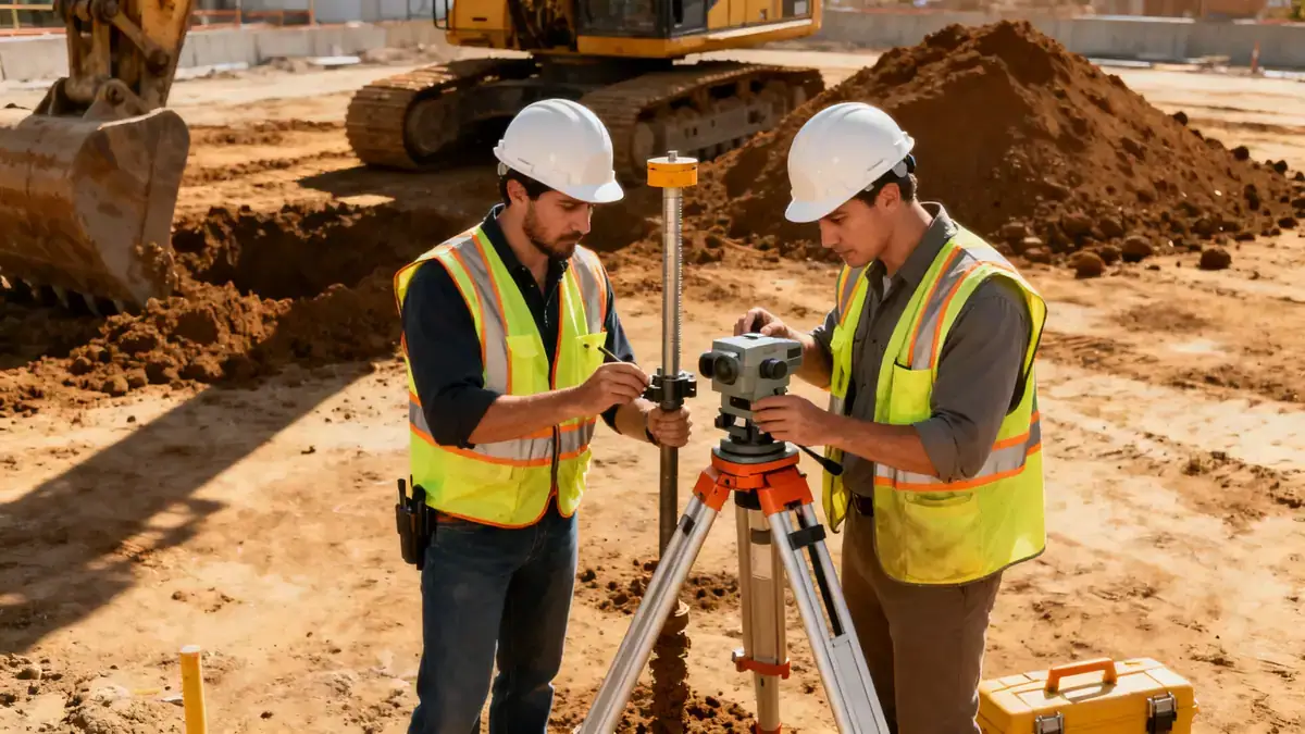
Our methodology in Peoria Illinois begins with a thorough review of existing geological maps and subsurface data from nearby projects. We then design a site-specific exploration program using standard penetration testing (SPT) in accordance with ASTM D1586, typically advancing borings to depths of 10–15 meters for residential structures and up to 30 meters for commercial projects. Soil samples are retrieved for laboratory classification, including grain size distribution and Atterberg limits. We also install monitoring wells to assess groundwater levels, which are critical in the river valley areas. All data is synthesized into a comprehensive geotechnical report with foundation recommendations. For more details on our field techniques, see our spt boring page.
Reference Technical Parameters
| Parameter | Reference Value |
|---|---|
| Predominant Soil Type | Glacial till (silty clay, sand, gravel) |
| Maximum Seismic Acceleration (PGA) | 0.15g (ASCE 7-16 Site Class D) |
| Typical Groundwater Level | 3–6 meters below grade |
| Bedrock Depth | 30–60 meters (Pennsylvanian shale/limestone) |
| Typical N60 Range | 8–25 blows/ft (glacial till) |
Local Considerations — Peoria Illinois
Peoria Illinois lies within the Illinois River Valley, characterized by thick glacial deposits over bedrock. The predominant soils are glacial tills with interbedded sands and gravels, presenting variable bearing capacities and compressibility. Groundwater is generally shallow near the river, requiring dewatering considerations for excavations. Seismic hazard is moderate, with a PGA of 0.15g per ASCE 7, necessitating site-specific response analysis for critical structures. Local regulations follow the Illinois Building Code, which references IBC and ASCE 7. Our team has extensive experience in Peoria's challenging conditions, from the bluffs to the floodplain. For specialized analysis, we offer slope stability studies tailored to the region's terrain. Additionally, our main hub provides further context: geotechnical engineering in Chicago.
Request a Quote
Our team reviews your project and issues an initial report at no cost.
Or write us directly at [email protected]
Services in Peoria Illinois
Applicable Standards
- ASTM D1586 (Standard Penetration Test)
- ASCE 7-16 (Minimum Design Loads and Associated Criteria for Buildings)
- Illinois Building Code (IBC-based)
- ASTM D2487 (Classification of Soils for Engineering Purposes)
Frequently Asked Questions
What are the typical soil conditions for geotechnical engineering in Peoria Illinois?
The predominant soils are glacial tills, consisting of stiff silty clays and sands with gravel. These deposits are generally dense and provide good bearing capacity, but variability requires careful site investigation. Groundwater levels can be shallow near the Illinois River, affecting excavation and foundation design.
What seismic design considerations apply in Peoria Illinois?
According to ASCE 7-16, Peoria falls within a moderate seismic zone with a peak ground acceleration of 0.15g for Site Class D. Site-specific response spectra may be required for essential facilities. The Illinois Building Code adopts these provisions, and our firm conducts seismic site classification as part of our geotechnical reports.
Are geotechnical studies mandatory for construction projects in Peoria Illinois?
While not explicitly required for all projects, the Illinois Building Code mandates geotechnical investigations for structures with special seismic or soil conditions. Most lenders and design professionals in Peoria require a geotechnical report to ensure foundation safety and code compliance. Our firm provides these studies for residential, commercial, and industrial developments.