
Methodology
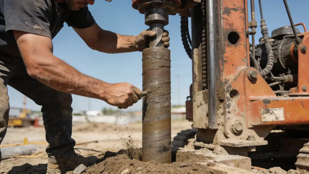
Our approach to geotechnical engineering in Little Rock begins with a comprehensive site reconnaissance and review of existing geological data. We then execute a field exploration program using standard penetration testing (SPT) per ASTM D1586 to characterize soil strata and obtain representative samples. For projects requiring continuous profiling, we employ cone penetration testing (CPT) to capture detailed stratigraphy. All samples are analyzed in our soil mechanics laboratory to determine index properties, strength, and consolidation characteristics. This integrated methodology allows us to develop a reliable geotechnical model that addresses both static and seismic loading conditions, as required by local building codes.
Reference Technical Parameters
| Parameter | Reference Value |
|---|---|
| Predominant Soil Type | Alluvial silts and clays over shale bedrock |
| Maximum Seismic Acceleration (PGA) | 0.3g (ASCE 7-16, Site Class C) |
| Typical Groundwater Level | 5–15 ft below grade |
| Bedrock Depth | 20–50 ft in central areas; shallower near outcrops |
| Typical N60 Range | 5–15 in upper soils; 30–50+ in weathered shale |
Local Considerations — Little Rock
Little Rock's geology is dominated by Quaternary alluvial deposits from the Arkansas River, underlain by the Jackfork Sandstone and shale of the Ouachita Mountains. Groundwater levels are typically shallow (5–15 ft), requiring dewatering considerations for excavations. Seismic hazard is moderate, with a maximum considered earthquake PGA of 0.3g per ASCE 7-16, influenced by the New Madrid Seismic Zone. Foundation designs often involve deep foundations or soil improvement to mitigate settlement on soft clays. For projects requiring specialized analysis, we refer clients to our slope stability services to address landslide risks in hilly terrain. Our team's familiarity with local conditions ensures that every report aligns with city permitting requirements.
Request a Quote
Our team reviews your project and issues an initial report at no cost.
Or write us directly at [email protected]
Services in Little Rock
Applicable Standards
- ASTM D1586 (Standard Penetration Test)
- ASCE 7-16 (Minimum Design Loads for Buildings)
- IBC 2021 (International Building Code)
- Arkansas State Building Code
Frequently Asked Questions
What are the typical soil conditions in Little Rock?
Little Rock generally has alluvial silts and clays near the Arkansas River, underlain by shale bedrock. N60 values range from 5 to 15 in upper soils and increase in weathered rock. Groundwater is often encountered at depths of 5 to 15 feet, requiring careful drainage design.
Is a geotechnical study required for residential construction in Little Rock?
While not always mandatory for single-family homes, most municipalities in Pulaski County require a geotechnical report for new construction, especially in areas with expansive soils or steep slopes. It is highly recommended to avoid foundation issues and comply with the Arkansas State Building Code.
How does seismic hazard affect foundation design in Little Rock?
Little Rock is in Seismic Design Category C per ASCE 7-16, with a PGA of 0.3g. This requires consideration of liquefaction potential and dynamic soil properties. Our reports include site-specific seismic response analyses to ensure foundations meet code requirements.