Methodology

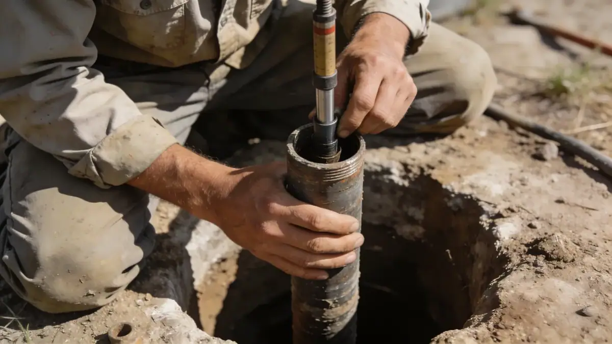
Our methodology for geotechnical engineering in Billings begins with a comprehensive desk study of regional geology and existing borehole data. We then conduct field investigations, including spt boring at strategic locations to obtain soil samples and measure N-values per ASTM D1586. In the laboratory, we perform index tests, strength tests, and consolidation tests to characterize soil behavior. All data are integrated into a site-specific geotechnical model, which informs foundation design parameters, slope stability analyses, and seismic site classification. This systematic approach ensures that our recommendations are grounded in site-specific evidence and meet the highest standards of practice.
Reference Technical Parameters
| Parameter | Reference Value |
|---|---|
| Predominant soil type | Clayey silt and sandy gravel with cobbles |
| Maximum seismic acceleration (PGA) | 0.20g (ASCE 7-16, Site Class D) |
| Typical groundwater level | 5–15 ft below ground surface |
| Bedrock depth | 10–30 ft (sandstone / shale) |
| Typical N60 range | 10–30 blows/ft (SPT) |
Local Considerations — Billings
Billings lies within the Great Plains, where near-surface soils consist of Quaternary alluvium and terrace deposits overlying Cretaceous bedrock. The Yellowstone River valley features loose sands and soft clays, while upland areas have stiff clays and dense gravels. Shallow groundwater is common in low-lying zones, requiring dewatering or waterproofing measures. Seismic hazard is moderate, with a design PGA of 0.20g per ASCE 7, and site class D is typical. Our team has extensive experience with these conditions, enabling efficient foundation solutions. For broader regional context, we coordinate with our geotechnical engineering team in Denver to share best practices and resources.
Request a Quote
Our team reviews your project and issues an initial report at no cost.
Or write us directly at [email protected]
Services in Billings
Applicable Standards
- ASTM D1586 (Standard Penetration Test)
- ASCE 7-16 (Minimum Design Loads for Buildings)
- International Building Code (IBC) 2018
- ASTM D2487 (Unified Soil Classification System)
Frequently Asked Questions
What are the typical soil conditions in Billings for foundation design?
Soils in Billings vary from clayey silts and sandy gravels in the Yellowstone River valley to stiff clays and dense gravels on higher terraces. Shallow bedrock (sandstone/shale) is often encountered at depths of 10–30 ft. Groundwater is typically 5–15 ft deep in lowland areas, requiring careful consideration for below-grade structures.
Does Billings have specific seismic design requirements?
Yes, Billings is in Seismic Design Category C per ASCE 7-16, with a mapped spectral acceleration Ss of 0.40g and S1 of 0.15g. Site class D is common, resulting in a design PGA of 0.20g. Structures must comply with IBC 2018 seismic provisions, and geotechnical investigations must provide site-specific amplification factors.
Are geotechnical studies mandatory for construction projects in Billings?
While not always legally required for small residential additions, most commercial and multi-family projects in Billings require a geotechnical report for permit approval. Lenders and insurers often mandate such studies to assess risk. Our firm can advise on applicable codes and project-specific needs.